


Yeongdeungpo-gu Holds Resident Briefing on Maetan District Cadastral Survey Project
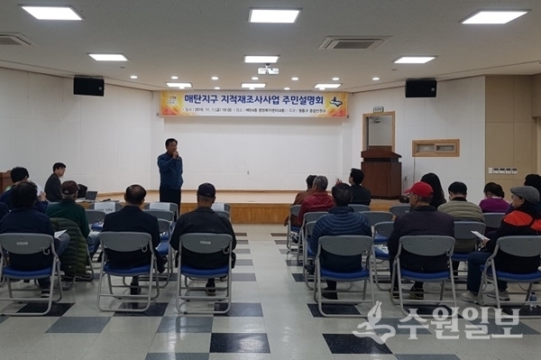
[Suwon Ilbo=Reporter Seo Dong-young] Suwon's Yeongdeungpo-gu (Head of District Song Young-wan) held a resident briefing session on the Maetan District cadastral survey project on the 1st at the Maetan 4-dong Administrative Welfare Center, attended by approximately 70 people including landowners, interested parties, and local residents for the designation of the 2020 cadastral survey project district.
The cadastral survey project is a national project aimed at resolving problems with paper cadastral maps written by hand during Japanese colonial rule and remedying land boundaries in areas where official land records and actual boundaries do not match, thereby improving the utilization value of land. The project will continue until 2030.
The Maetan District cadastral survey project will cover 95 parcels (17,922 square meters) in the vicinity of lot 231-8, Maetan-dong. With full government funding of approximately 22 million won for survey costs, the project will be promoted by the end of December next year.
During the briefing, the district explained ▲the purpose and procedures of the cadastral survey project ▲the composition and functions of the landowner council ▲boundary determination standards and adjustment fee calculation standards, and held a question-and-answer session.
The cadastral survey project requires consent from at least two-thirds of all landowners within the project district. The district plans to obtain landowner consent by the end of next month, apply for project district designation, and proceed with the full-scale cadastral survey project.
A district official stated, "The cadastral survey project is essential for protecting citizens' property rights by resolving boundary disputes and normalizing land," and urged, "We ask for the active attention and cooperation of landowners and interested parties."