


Jangan-gu Launches Land Cadastral Resurvey Project for Hagwanggyo-dong
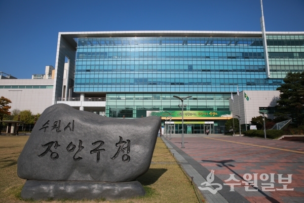
[Suwon Ilbo=Reporter Seo Dong-young] Jangan-gu, Suwon announced on the 24th that it will proceed with a land cadastral resurvey project following the establishment of an implementation plan for the "Hagwanggyo Cadastral Resurvey District (217 parcels, 216,830 ㎡)," which is designated as a 2021 cadastral resurvey project district.
The land cadastral resurvey project is an initiative to correct cadastral records where the actual boundaries of land do not align with cadastral map boundaries, thereby preventing boundary disputes and increasing land utilization.
The district is currently collecting resident opinions through public notification, announcement, and guidance procedures regarding the implementation plan. An online resident briefing session will be held in January of next year to explain the project purpose, implementation procedures, and landowner consent, and to request cooperation.
Im Byung-po, Director of the Civil Affairs Division at Jangan-gu, requested, "We ask for active participation and cooperation from landowners and local residents so that the cadastral resurvey project, which enhances land value through land regularization and resolution of landlocked properties, as well as prevents boundary disputes between neighbors, can proceed smoothly."