Hwaseong Special City to Build Nation's First AI and Spatial Information Integrated 'Future-Type Disaster and Safety Map'
[Suwon Ilbo=Reporter Jung Jun-sung] Hwaseong Special City will construct an 'integrated disaster and safety map' that links AI-based disaster safety data with spatial information for the first time in the nation, establishing a foundation for more systematic management of disaster-vulnerable areas and risk factors.
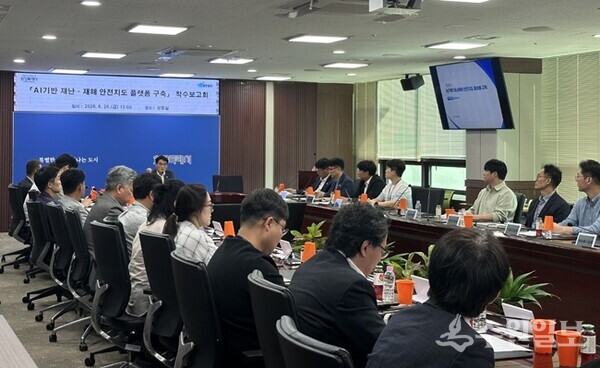
To this end, the city held an 'AI-Based Disaster and Safety Map Platform Construction Project Kickoff Meeting' at the city hall situation room on the 26th with around 50 participants including First Vice Mayor Yun Sung-jin, officials from relevant departments and related agencies, sharing the project promotion direction, major tasks, and future implementation plans.
This project aims to systematically analyze disaster risk factors within the city using AI and spatial information fusion technology, and to establish a future-type disaster safety management system that supports rapid decision-making.
The platform will integrate various disaster safety information including △fire-vulnerable areas △flooding and landslide-vulnerable areas △steep slopes and snow removal vulnerable sections △disaster evacuation facilities. The AI will conduct convergence analysis of spatial information and various disaster safety data to continuously manage disaster-vulnerable areas and risk factors, and is expected to support rapid decision-making and on-site response in case of disasters.
Additionally, the city will establish a verification system for disaster safety data and spatial information to enhance the platform's accuracy and utility. Using the latest aerial imagery and digital spatial information to maintain data in the latest state and enhance reliability of disaster risk analysis results, the city plans to proactively respond to changing urban environments and diverse disaster situations through continuous quality management.
Mayor Jung Myung-geun stated, “The disaster safety map platform combining AI and spatial information technology will serve as a core foundation for protecting the lives and safety of citizens,” adding, “We will build the nation's first future-type disaster safety management model and create a more scientific and systematic safe city.”